Lake Wylie is a man-made reservoir on the Catawba River, about 13,400 acres of water and 325 miles of shoreline spread across the North Carolina and South Carolina line at Charlotte's southwestern edge. Duke Energy manages it. It was built for power generation in 1904 and rebuilt to its current size in 1924, which makes it the oldest lake in the Catawba River basin.
That working-lake origin matters for visitors. Water levels are managed and stay relatively stable through the year. The shoreline is a mix of houses, marinas, county parks, and protected nature preserve land rather than one big resort strip. And because two states share the water, a few rules change mid-lake. This page covers the facts that come up again and again when people plan a trip here. The details of getting on the water are in our boating guide and the full list of access points is in the marinas and boat ramps guide.
The numbers that describe the lake
Start with size. The South Carolina Department of Natural Resources puts Lake Wylie at 12,177 acres in one survey figure and about 13,443 acres after the 1924 expansion, with 325 total miles of shoreline, of which about 228 miles are in South Carolina. Most published summaries round it to 13,400 acres. The lake stretches from the Mountain Island Dam at its northern end, below Mountain Island Lake, south to the Wylie Dam.
Depth is uneven, and that shapes how people use the lake. The average depth is just over 20 feet. The main channel, which follows the old Catawba River bed, runs much deeper, to roughly 94 feet near the dam according to SCDNR. The coves and creek arms, Big Allison Creek, Little Allison Creek, Paw Creek, and others, are shallow, warm, and lined with docks. Boaters learn the lake as two places: a wide, open main body for running and skiing, and dozens of quieter coves for anchoring, swimming, and fishing.
For scale, Lake Wylie is the smaller, closer alternative to Lake Norman north of Charlotte. Wylie has fewer total acres, shorter drives from Uptown and the airport, and a more residential feel. Neither lake is natural. Both are links in Duke Energy's chain of 11 lakes on the Catawba River, with water moved through the system to generate power and supply the region.
How the lake got here: 1904, 1924, 1960
The lake exists because a power company needed falling water. In 1904 the Catawba Power Company built the Catawba Dam and Power Plant near India Hook, South Carolina, and impounded the Catawba River. The first lake, called Lake Catawba, covered only about 668 acres. The Catawba Power Company became part of the Southern Power Company in 1905.
In 1924 the Southern Power Company raised the dam and built a new hydroelectric station to replace the original. The new facility opened in August 1925 and raised the water to roughly its present footprint, about 13,400 acres. Whole stretches of river bottom, including the spot where the South Fork River met the Catawba, went under water. In 1927 the Southern Power Company merged into Duke Power Company, the predecessor of today's Duke Energy.
The name came later. In October 1960 the station was renamed the Wylie Hydroelectric Station and the lake became Lake Wylie, honoring W. Gil Wylie, one of the founders of the original Catawba Power Company. The fuller timeline is laid out on the Lake Wylie page on Wikipedia, which tracks the same dates through Duke's corporate history.
Power is still the lake's day job. Beyond the hydroelectric station at the dam, the lake provides cooling water for the Allen Steam Station on its northern shore and the Catawba Nuclear Station on the southwestern shore, and it supplies drinking water for Rock Hill, South Carolina and Belmont, North Carolina. Full pond, the reference level Duke manages against, is 569.4 feet above sea level.
The state line runs through the water
The NC/SC border crosses Lake Wylie roughly east to west, and it is not just a line on a map. It decides which rules apply to you at any given moment:
- Fishing licenses do not cross. North Carolina and South Carolina have no reciprocal agreement for this lake. A license from one state is not valid in the other state's water, a point that catches visitors every season. We cover the license question in detail in the fishing guide.
- Some boating rules differ. Life jacket ages are an example. North Carolina requires children under 13 to wear a life jacket on a moving vessel; South Carolina's requirement covers children under 12 on smaller boats. When in doubt, follow the stricter rule and nobody argues.
- Three counties touch the lake. York County, South Carolina runs the lake's best-known county parks, including Ebenezer Park and Allison Creek Park. Mecklenburg County, North Carolina holds the Charlotte shoreline and McDowell Nature Preserve. Gaston County, North Carolina holds the Belmont shoreline and South Point Access.
Most of the time, none of this affects a swim or a boat ride. It matters when you fish, when you launch, and when a patrol boat from either state checks your paperwork.
The communities around the shore
There is no single town of Lake Wylie in the way visitors expect. Lake Wylie, South Carolina is an unincorporated community in York County, zip code 29710. Tega Cay, on a peninsula on the eastern shore, is an incorporated city with its own marina, parks, and golf. On the North Carolina side, the shoreline belongs to Charlotte's Steele Creek area, where neighborhoods like The Palisades sit on the water, and to Belmont in Gaston County at the lake's northern end. Rock Hill, South Carolina anchors the southern end.
What that means for a visitor: services are spread out rather than concentrated in one lakefront downtown. Marinas, ramps, restaurants, and grocery stores sit in clusters near the bridges and main roads, Highway 49 on both sides of the Buster Boyd Bridge and Highway 274 up the eastern shore. Plan a lake day by picking a cluster, not by assuming you can walk to everything.
What the lake is used for now
Recreation sits on top of the working infrastructure. On a summer weekend the main channel carries pontoons, wake boats, and jet skis, the coves fill with anchored swimmers, and the creek arms hold bass boats from before sunrise. Duke Energy maintains six public boat access areas on the lake, and the counties run parks with beaches, fishing piers, and campgrounds. McDowell Nature Preserve protects over 1,100 acres of the Charlotte shoreline, which keeps one long stretch of the lake wooded and quiet.
The shoulder seasons are when locals use the lake most. Spring and fall bring the best fishing, mild water temperatures arrive by late spring, and the coves empty out on weekdays. Winter is quiet, the level stays managed, and the lake reads more like the river it originally was.
Staying on the lake
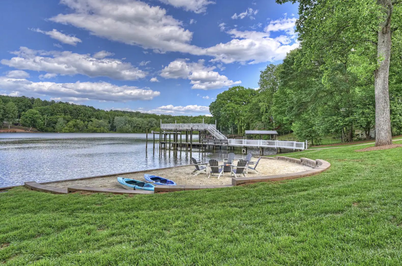
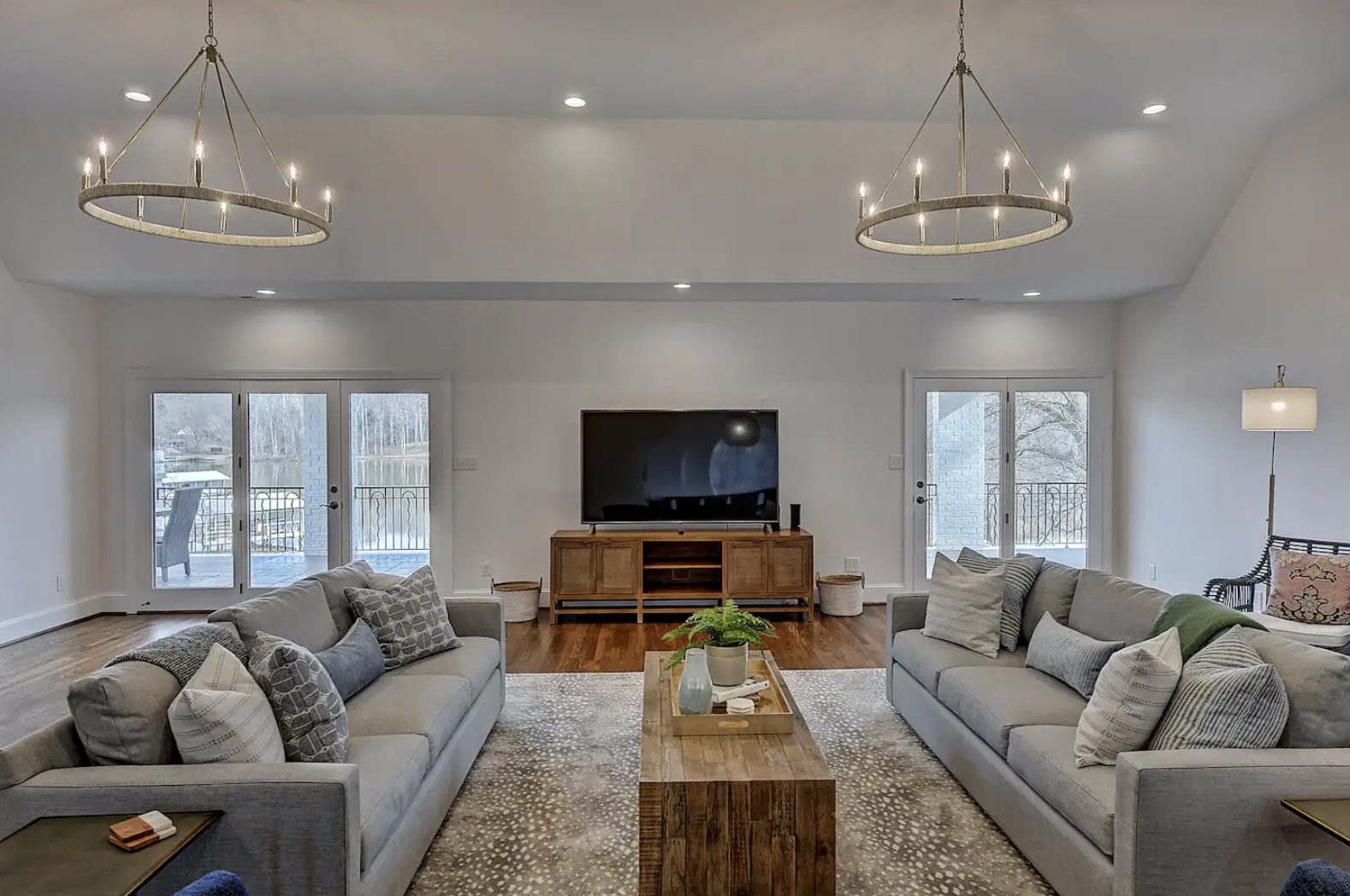
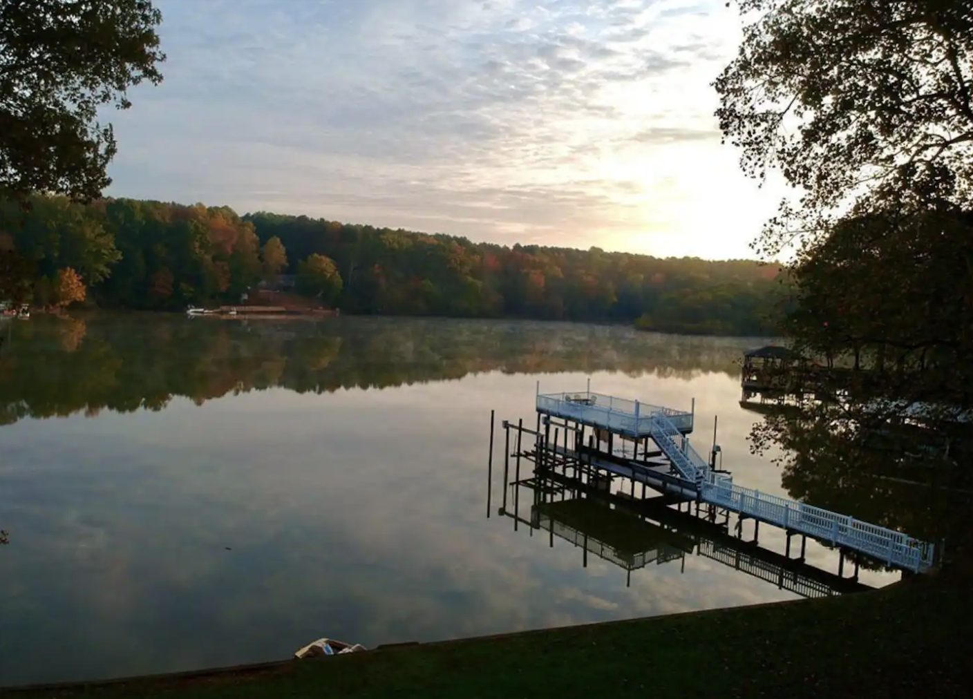
Most public access is day use: parks close, ramps empty, and the marinas lock up. Staying on the water changes the math. Windygap Retreat sits on the Charlotte side of Lake Wylie with a private dock and a private beach, sleeps 16 in 5 bedrooms, and puts the lake at the end of the yard instead of at the end of a drive. Uptown Charlotte is about 25 minutes away and the airport about 15 to 20, so a lake stay doubles as a Charlotte trip.
If that setup fits your group, check dates and book direct. Booking direct skips the 12 to 15 percent platform service fee on the same house, and it puts you in touch with the owner about dock space, kayaks, and the details no listing page covers.